Warnings renewed for typhoon, heavy rainfall


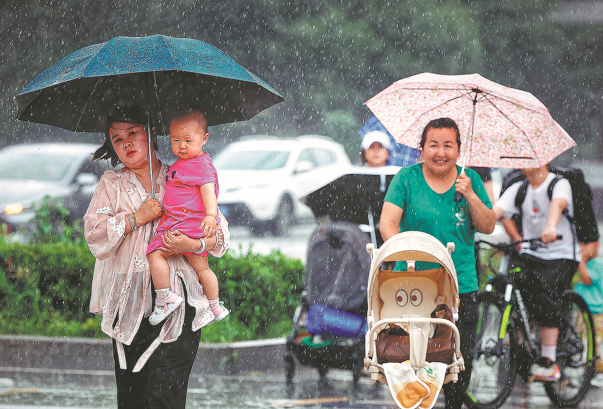
China renewed typhoon and heavy rainfall warnings on Thursday as concerns mounted over potential flash floods, urban flooding and geological disasters in the coming days, with some regions having experienced up to four times their usual rainfall, authorities said.
The National Meteorological Center issued a blue typhoon warning, the lowest on its four-tier alert system, and a yellow rainstorm warning, the second lowest, at 6 am on Thursday.
Heavy rainfall is forecast for North China from Thursday through Saturday, with Shaanxi, Shanxi, Hebei, Heilongjiang and Jilin provinces expected to be the hardest hit. Authorities warned of intense rain, thunderstorms, strong winds and hail in these areas.
Sun Jun, chief forecaster at the center, said the rainfall would be marked by a long duration, heavy accumulation, noticeable stacking effects and the potential for extreme conditions in certain areas. Rainfall could reach up to 200 millimeters, with some areas likely to exceed that amount.
"This weather pattern fits the typical main flood season in North China, which usually happens between late July and early August," Sun said. "The merging of cold air from Russia with warm and humid southwest airflow is driving persistent heavy rainfall in the region."
Weather.com.cn, a website affiliated with the administration, reported on Wednesday that over the past 30 days, regions that include Gansu, Shaanxi and Hebei experienced rainfall amounts that are one to two times higher than the same period in previous years, with some areas recording four times their usual levels. The current heavy rainfall, overlapping with areas already saturated, increases the risk of flooding and landslides.
In East China, Typhoon Francisco, the seventh typhoon of the year, was about 830 kilometers southeast of the border between Zhejiang and Fujian provinces at 5 am on Thursday. It is expected to weaken as it moves northwest, entering the southern East China Sea by Thursday evening and approaching the Zhejiang and Fujian coasts.
Co-may, the eighth typhoon of the year, was located about 370 km northwest of Manila, Philippines, at 5 am on Thursday.
Strong winds from both typhoons are expected to affect the East China Sea, Taiwan Strait, South China Sea and the coastal areas of Zhejiang and Fujian.
The State Flood Control and Drought Relief Headquarters on Thursday launched a Level-IV emergency response to flooding in five northern regions, according to the Ministry of Emergency Management.