Researchers discover paleokarst landforms in Northwest China


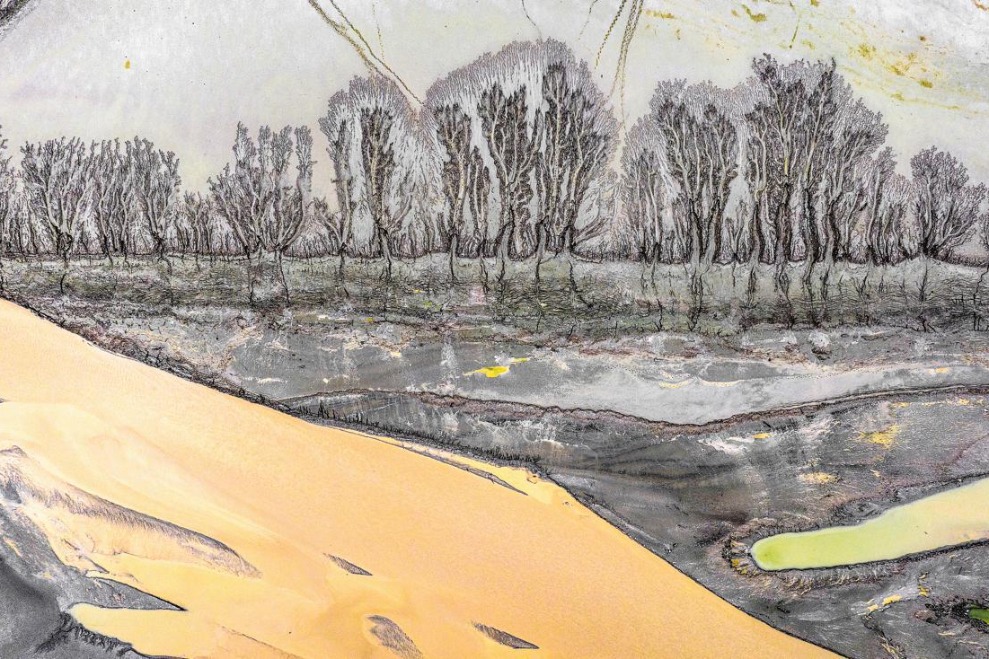
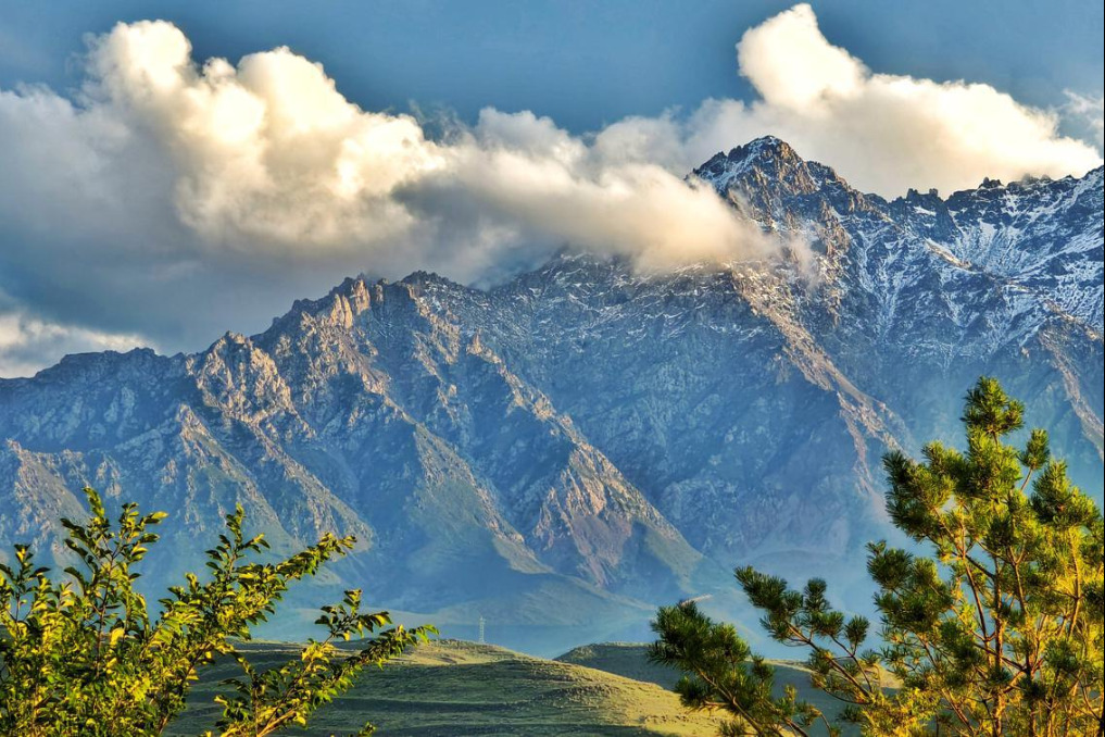
XINING -- Researchers have found typical paleokarst landforms in the Sanjiangyuan area in Northwest China's Qinghai province, which further challenges the hypothesis that the area was once covered by a large ice sheet during the Quaternary period.
Four ancient karst landforms, including an underground river, were identified in the source areas of the Yangtze and Lancang rivers, in the Tibetan autonomous prefecture of Yushu, by researchers from the Qinghai Institute of Polar Natural Resources Investigation during a recent field survey.
Sanjiangyuan (Three-River-Source) area is home to the headwaters of the Yangtze, Yellow and Lancang rivers. It is known as China's "water tower."
Experts believe that if the Sanjiangyuan region had been covered by a massive ice sheet, the karst landforms of that time would have likely been eroded by the ice and would not have exhibited such extensive and diverse features.
"The alternating climate conditions in the Sanjiangyuan region have contributed to the development of typical paleokarst landforms, providing favorable conditions for studying the plateau's ancient geological environment and its changes," said Zhang Yong, head of the institute.
Established this year, the Qinghai Institute of Polar Natural Resources Investigation focuses on research in fields such as climate change, biodiversity conservation and ecosystem studies, with the aim of providing scientific survey data for the ecological protection of the Sanjiangyuan area.


- World-first study analyzes minerals on far side of moon
- China firmly supports establishing Southeast Asia nuclear weapon-free zone: defense ministry
- Macao university hosts intl research program focusing on AI, green finance
- War provocations by 'Taiwan independence' armed forces only lead to self-destruction: defense ministry
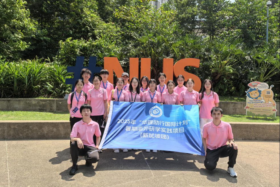
- ECUST students embark on student exchange program in Singapore
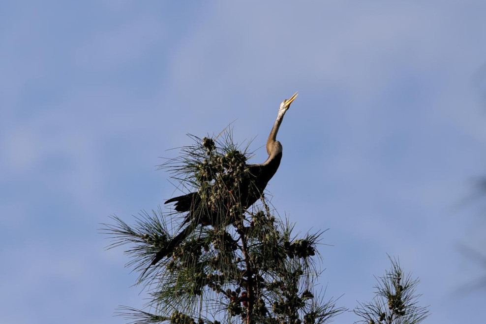
- Rare Oriental darter spotted in Hainan for first time