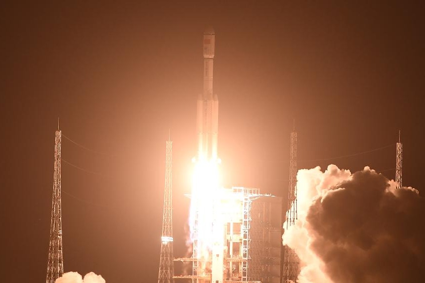
China's first civilian HD mapping satellite in service for eight years


BEIJING - China's first civilian high-definition mapping satellite Ziyuan III 01 has celebrated its 8th birthday in orbit.
Despite its five-year design life, it continues to collect data, the Ministry of Natural Resources said Wednesday.
Since it was launched in January 2012, the satellite has sent back 3D data covering 79 million square kilometers of the globe as of Dec 31, 2019.
It has enabled China to produce 1:50,000-scale maps, ridding the country's dependence on imports of satellite images, according to the ministry.
The Ziyuan III 01 is tasked with providing data for the country's land-resources investigation, disaster prevention, agriculture development, environmental surveying and urban planning.
The satellite has offered services to more than 40 countries and regions over the past eight years, the ministry said.


- Shanghai certifies 30 regional HQs of multinationals
- Shanghai plans extensive promotional of high-growth enterprises
- Hainan launches International Talent Club
- Nvidia founder and CEO Jensen Huang says he loves competition
- Evidence of inhuman atrocities
- New guideline aims to impart skills training to 30m people by 2027